

The storm poses a serious flooding danger for millions of people across the region’s major metropolitan areas
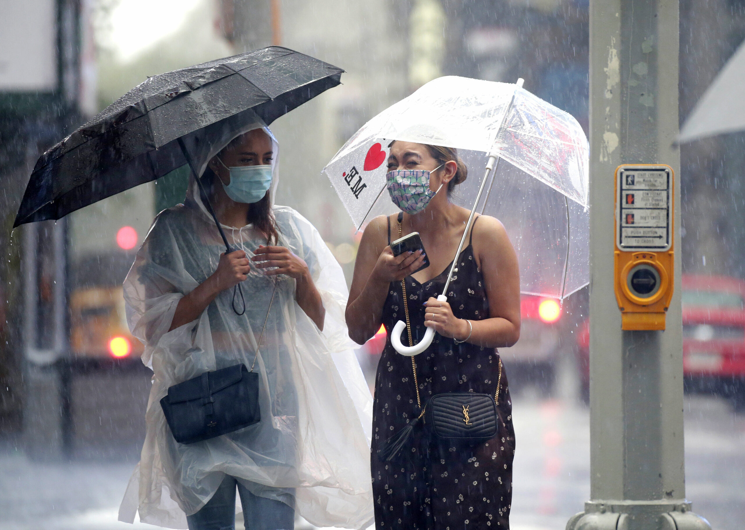
An outer rain band is pivoting into the New York City area from Tropical Storm Henri but is starting to stall, increasing the risk for flooding today.
Computer model forecasts and radar trends suggest this rainband will remain nearly stationary. Much of this rain is expected to be at moderate intensity, but there will be some heavier pockets of rain, which could lead to a nearly an inch per hour rainfall rate. Heavy rain falling in a short period of time in urban areas often leads to flash flooding.
The National Weather Service office in New York issued a flood watch until 8 p.m. ET Monday. A rainfall total of 3 to 5 inches is currently forecast for the New York City area today as Henri moves onshore into southern New England.
In southeastern Connecticut, there is now a flash flood warning in effect until 12:45 p.m. ET, including New London and Groton, as the center of the storm, along with its very heavy rain, approaches the coast.
![]()